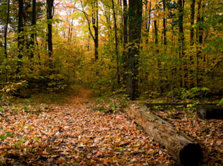
We welcome everyone to come out to Umstead State Park this Sunday, May 22. We will be in the north side of the park, at shelter #1, (GPS coordinates = 35.871679, -78.759139). If you’re coming in a group of 5 or more, please pre-register here to help streamline your registration process, and to help ensure that we print enough maps. If you’re coming solo or in a smaller group, you can save a bit of time at the registration table by filling out your entry form, available here, before you come; although you do not need to notify us that you’re coming. Everyone should turn in their entry form (also available at the event) and start their course any time between noon and 2:00. If you’re new to orienteering, please arrive in time to to get signed in before attending our beginner’s class at 12:30. Make sure that you report back to the finish by 3:00, because we will begin picking up all of the check points (controls) at that time.
One unusual feature of this event will be the offering of two advanced (orange-level) courses that differ only in their overall length. Course lengths are:
Beginner (white): 2.1 km (14 controls)
Intermediate (yellow): 3.4 km (11 controls)
Advanced short (orange): 3.2 km (7 controls)
Advanced long (orange): 5.1 km (9 controls)
Expert short (brown): 3.8 km (10 controls)
Expert medium (green): 5.7km (14 controls)
Expert long (red): 8.3 km (22 controls)
The beginner (white), intermediate (yellow), advanced (orange) and short expert (brown) courses will pass near park water fountains, which will be marked on your map as either a blue circle or a red refreshment symbol. The medium (green) and long (red) expert courses will have drinking water at one control, approximately half way through the course. The scale of the map for the beginner and intermediate courses will be 1:5000; for the advanced and expert short course it will be 1:7500; and for the medium and long expert courses it will be 1:10000. Magnetic north will be parallel to the page edge (thus no need to correct for declination.) Rootstocks will not be mapped, unless they are used as control locations. In that case, they will be mapped simply with a north-aligned green X.
Participants on all courses except beginner (white) are advised to wear something to protect your legs from Umstead’s off-trail vegetation and blood thirsty insect population.
